
lighteditorialcartographicscientificpremiumlightdata
Zephyr Atlas
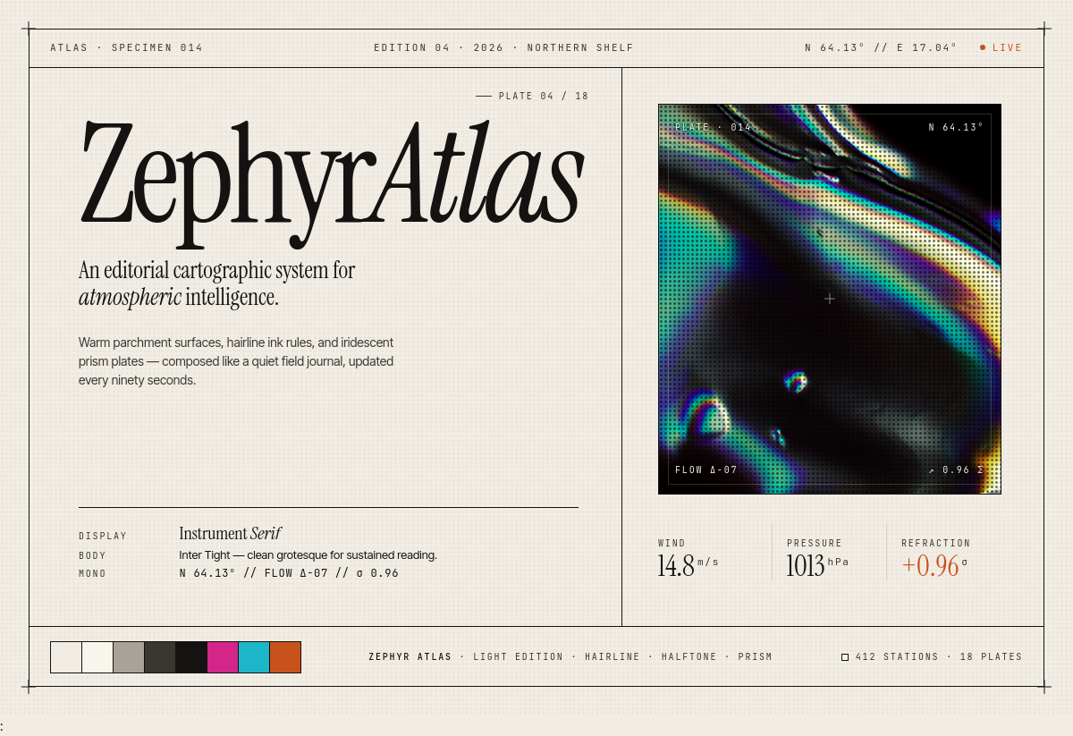
An editorial cartographic design system for atmospheric data and intelligence platforms. Warm parchment surfaces, hairline rules, and iridescent prism imagery balance scientific precision with poetic restraint.
Design system preview
Concept
A topology-first interface language that frames technical content like a printed field journal. Cream paper, ink-black serifs, halftone dot textures, and oil-slick prism accents combine to suggest mapped airflow, refracted light, and quiet measurement.
Sign in to access
Create a free account or sign in to view and download this design system.
Sign in to access